


A History of the World in 500 Maps
- Regular price
- £35.00
- Sale price
- £35.00
- Regular price
-
Also available from:
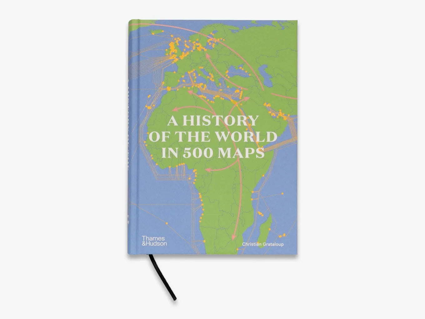
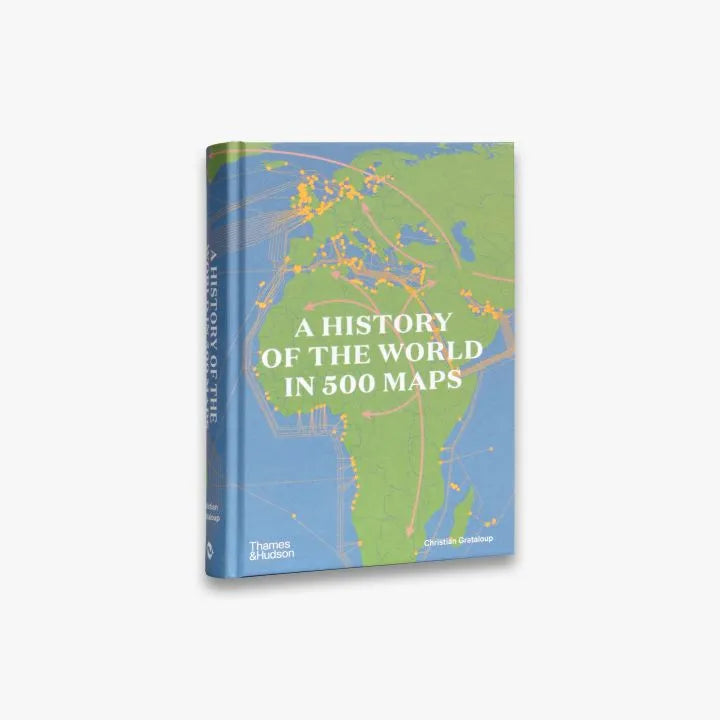
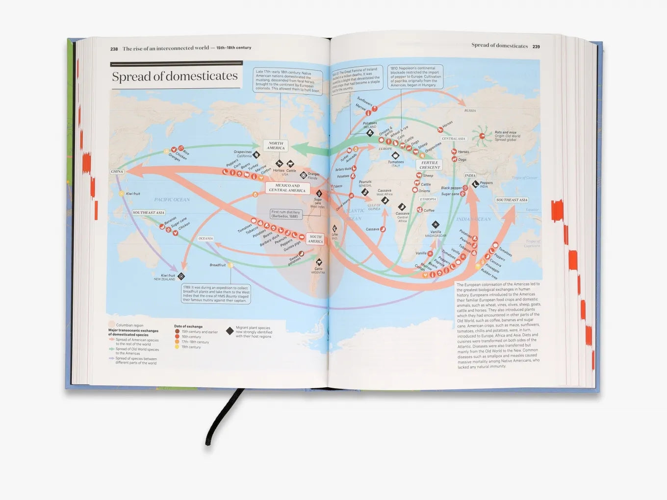
Organized chronologically, A History of the World in 500 Maps tells a clear, linear story, bringing together themes as diverse as religion, capitalism, warfare, geopolitics, popular culture and climate change. Meticulously rendered maps chart the sequence of broad historical trends, from the dispersal of our species across the globe to the colonizing efforts of imperial European powers in the 18th century, as well as exploring moments of particular significance in rich detail.
• Visualizes 7 million years of human history.
• Analyses cities and kingdoms as well as countries and continents.
• Features major technical developments, from the invention of farming in the Fertile Crescent to the Industrial Revolution.
• Charts the spread of major global religions, including Christianity and Islam.
• Explores the increasing interconnectivity of our world through exploration and trade.
• Investigates warfare and battles from across the ages, from Alexander the Great’s conquests to the D-Day offensive.
Extent: 600 pp
Format: PLC (no jacket)
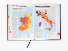
Illustrations: 515
Publication date: 2023-07-13
Size: 24.0 x 17.0 cm
ISBN: 9780500252659
Foreword: Stories of space by Patrick Boucheron
Introduction: Making an Atlas by Christian Grataloup
Part 1: A Single Human Race, 3000 BCE
Part 2: Worlds Unto Themselves
Part 3: Resources of the Ancient World from the Neolithic to the 15th century
Part 4: Peoples of the Ancient World up to the 7th century CE
Part 5: The societies along the axis of the Ancient World
Part 6: The world in the 15th century
Part 7: A world interconnected by Europe 16th–18th century
Part 8: Europe 16th–18th century
Part 9: A world dominated by Europe: Late 18th century to 1914
Part 10: Non-European powers in the late 18th–19th century
Part 11: Europe 1789–1914
Part 12: A world dominated by the West 1914–89
Part 13: The world since 1989: 1989–2019


Press Reviews
Le Monde
Geographical
Wanderlust
ARGO
About the Authors
Christian Grataloup is a specialist in geohistorical research and Professor Emeritus at Paris Diderot University. He has written or contributed to numerous books and atlases about world history. Patrick Boucheron is a historian and professor at the College de France. He has been a member of the scientific committee of the popular French history magazine L’Histoire since 1999 and has written numerous books on global history and the history of the Middle Ages in particular. Legendes Cartography has produced the maps for the magazine L’Histoire as well as many atlases and textbooks for over two decades.
You May Also Like
View more- Choosing a selection results in a full page refresh.